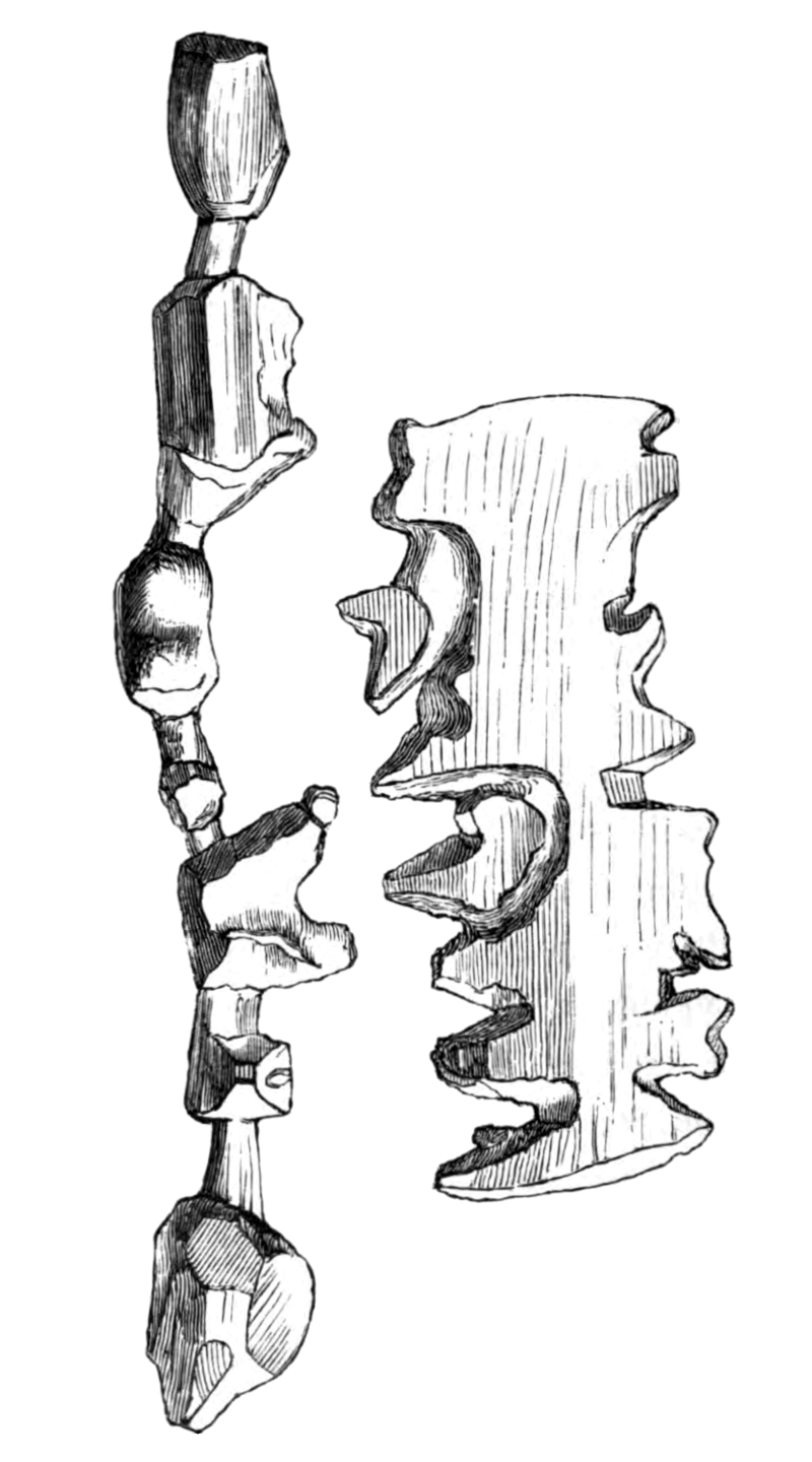
von Gustav Holm, Vilhelm Garde [Public domain] via Wikimedia Commons
I learned about these 'ancient' tactile maps from a blog post from 2008 in and a blog post from 2010. It's fascinating, so have a look at these post and the comments to it as they hold a lot of interesting detail!
For me, these artefacts clearly shows that tactile maps are not only for the blind, but that they can help visually able persons as well. The property that makes such maps useful is the representational correspondence between the structure of the representation of the geographic world (i.e. the map) and the structure of the geographic environment. Additionally the representational format of the map is the same as the format of the represented structure: it's spatial. For non-blind persons, the match between representation and the represented to find correspondence is eased even more as both, artefact and environment, are accessible visually.
No comments:
Post a Comment